This page provides links to environmental agencies, data tools, mapping resources, professional organizations, and training resources commonly used by Tennessee county officials. Resources are organized by program area to support county operations, planning, environmental compliance, public works, and local decision-making.
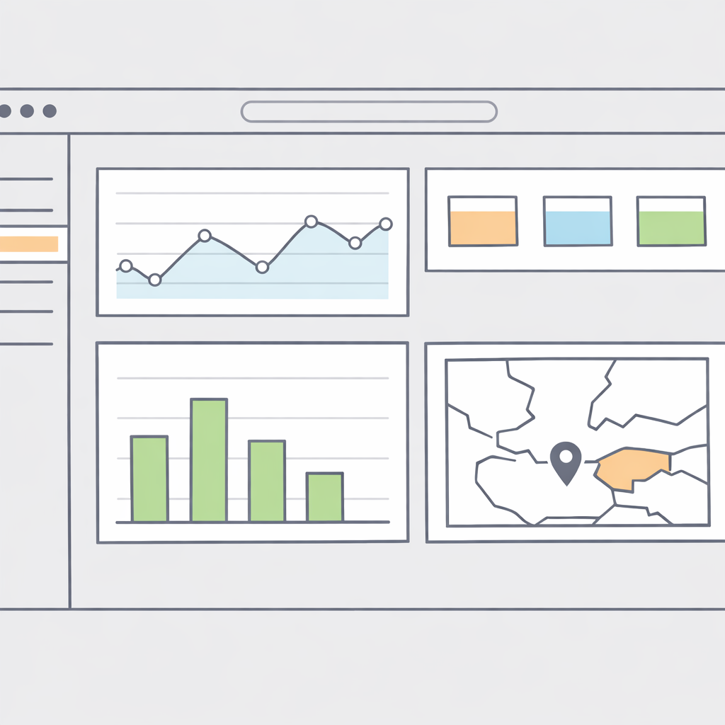
Tennessee Solid Waste Facilities and Services Dashboard
Dashboard showing key solid waste infrastructure and reported disposal.
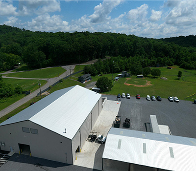
Greene County Asset Inventory and Facility Mapping
Drone application highlighting Greene County facilities.
Drone Mapping for Kinser Park, Greene County
Drone map capturing elevation contours for county site improvement plan.
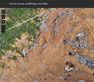
Drone Mapping for Putnam County Landfill
Baseline map showing landfill working face and active footprint.
Resources related to municipal solid waste, Class I and Class III landfills, convenience centers, transfer stations, recycling, composting, recovered materials, waste tires, household hazardous waste, permitting, and county solid waste planning.
- TDEC Solid Waste Program
- TDEC Waste Management Branch
- TDEC Waste Permits
- TDEC Landfill Permit
- TDEC Solid Waste Permit-by-Rule
- Recovered Materials Processing Facility Notification
- TDEC Solid Waste Rules and Regulations
- Tennessee Solid Waste Rules Secretary of State
- 2025 2035 Tennessee Solid Waste and Materials Management Plan
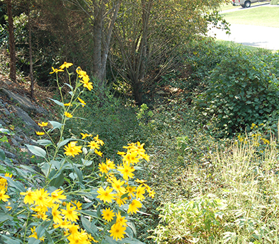
Resources supporting stormwater management, floodplain administration, erosion prevention, drainage design, watershed protection, MS4 compliance, flood-risk review, and water quality protection.
- TDEC Division of Water Resources
- TDEC Water Permits
- Aquatic Resource Alteration Permit
- NPDES Permits
- TDEC Water Resources Data and Map Viewers
- TDEC Division of Water Resources DataViewer
- TDEC Division of Water Resources GIS Data
- Tennessee Permanent Stormwater Management and Design Guidance Manual
- TDOT Drainage Manual
Resources used during planning, zoning, subdivision review, site development, roadway projects, landfill siting, utility projects, environmental due diligence, and review of natural resource constraints.
Geospatial resources supporting county mapping, environmental review, drone operations, infrastructure inventory, emergency management, public information, and site analysis.
Resources supporting environmental permitting, inspections, regulatory compliance, emergency response, and operational management for county facilities and infrastructure.
External links are provided as a convenience to Tennessee county officials. CTAS does not control external websites and does not guarantee that linked content is complete, current, or applicable to every local situation. Counties should consult applicable laws, regulations, permits, agency staff, and county attorney guidance when making formal decisions.